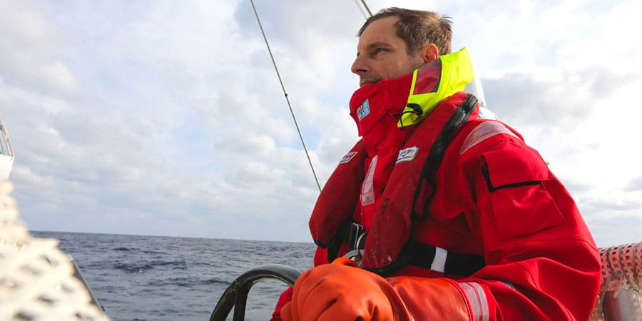
By Joshua Bremmerer, CEO at Komodo Covers
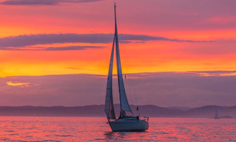
Those accustomed to sailing in tidal waters will be well aware of both the huge benefits and hindrances they can provide for a sailor. Harnessed properly, tidal waters can essentially give a sailboat a free ride—like an airport travelator. On the contrary, low or high tide can really slow you down and even pull you into dangerous waters.
You could even find yourself in a situation where you are sailing at four or five knots, but the elements stop you in your tracks, leaving you stranded. This is exactly what happened to an American couple attempting to sail to the Caribbean in December 2020, where they were stuck for 28 days before finally making it back to shore.
However, this article is not an attempt to fearmonger but rather familiarize you with the basic principles of tides and how you can use them to navigate safely.
How do tides work?
Without getting too technical, the simple answer is that tides are created by gravitational pull. The Moon and Sun exert gravitational forces, which cause tidal bulges. The Moon’s distance from the Earth as it orbits causes semi-diurnal tides—two daily high tides and two daily low tides.
Some tides are formed by the alignment of the Sun, Moon, and Earth. When the gravitational pull of these celestial bodies is at its strongest, the result is spring tides where the range of high and low water are at their greatest. As they fall out of alignment, the gravitational pull weakens until the Sun, Moon, and Earth are at right angles again. This causes neap tides, where the tidal range is at its lowest.

Tidal streams and what to be aware of
Tidal streams are vital for a navigator to keep in mind as their direction, strength, and ebbs can vary dramatically. It’s just as well that we have detailed information from tidal charts available for all seas worldwide, as their behavior is largely predictable. When planning a trip in tidal waters, use the almanacs and tidal charts to gather all the data you need on high tide, low tide, longitude and latitude port coordinates, and time zones to stay ahead of the curve.
You can use this information to check when and how the state of the tide will affect local shallows, harbor entrances, headlands, and estuaries. It is also worth checking shipping forecasts via the radio or internet to determine potential rough seas caused by violent wind tides—you might need to re-think your trip if adverse conditions are predicted.
Actions to take from your evidence gathering
The key thing to remember is that you are always at the mercy of the sea and should not fight the tides when you can avoid them.
Before setting out, always analyze the tidal stream to prevent problems further down the road. For example, let’s say you plan a journey of 15 nautical miles traveling at fives knots will take just over two hours with the tide, but crucially, over four hours against it. This could land you in hot water if the sun is setting and you’re still far from home. On the flip side, being aware of tidal streams can also save you lots of time if you take advantage of the current at its peak speed.
Time (and tide!) waits for no one, as the expression goes. They are both relentlessly adapting and changing, so this is why pre-planning is crucial. At the same time, be prepared to make adjustments to your route to have a safe and enjoyable voyage.
About Josh Bremmerer

Josh Bremmerer is an innate navigator, an experienced leader in the boating industry with over a decade of experience in management and company development and a lifelong passion for boating. As the manager of Glacier Ski Shop, Josh grew the small Shop into a nationally recognized business and increased profits by 400%. With that background, it’s no wonder Josh started his own business in the boating industry: Komodo Covers.